A 1913 photo (according to the writing at bottom) of the markers of the states which join here. Tennessee and Virginia are on the white stone, and for some reason the Kentucky marker is a few yards away. But they all do have a corner in common somewhere up there. Which mountain, and what's the town down the hill?
So I wanted to know what the mountain was. And what the town in the distance was.
I stumbled upon the history of these surveyed boundaries. And of course they go back to when European men decided they wanted to live on Native American's land. And the French and Indian War, and the Revolutionary War. And how kings of England gifted property in the Americas to those who did them favors.
But here's a detailed description of the history, and some great maps. virginiaplaces.org/boundaries/
I am so glad that there's now a national monument, much better than the one depicted above.
Cumberland Gap National Historic Park, showing the Virginia, Tennessee, Kentucky borders meeting.
Black Mountain
Lake Tomahawk with ice, Jan 16, 2025
Showing posts with label Virginia. Show all posts
Friday, January 25, 2019
Thursday, November 22, 2018
The fun of getting there
While on the road for 2 days, I was able to prop iPhone on the steering wheel, and sometimes actually get interesting photos. I have done some cropping to remove the ever present dashboard at the bottom of the shots.
I began in North Carolina, then a bit of Tennessee, then Virginia, then West Virginia and finally Ohio.
Most of my miles were in the mountains.
A very big mountain ridge in front of me, I wondered how the road would get around it!
Virginia had a tunnel through the mountain! What a surprise!
There was another tunnel further on down the road as well.
I spent one night in West Virginia, because it's mostly mountains and was about to rain, and I'd been at it for 6 hours (stopping hourly to walk around or eat something.) The next morning the weather was still dropping rain, and there was talk of snow...but I never saw any. And by the second hour on the road, the rain stopped.
Most of the highways through mountains followed little rivers which had carved out these valleys over millennia. It was like following the water either uphill or downhill, around many of the higher parts of the mountains where nobody lived except eagles.
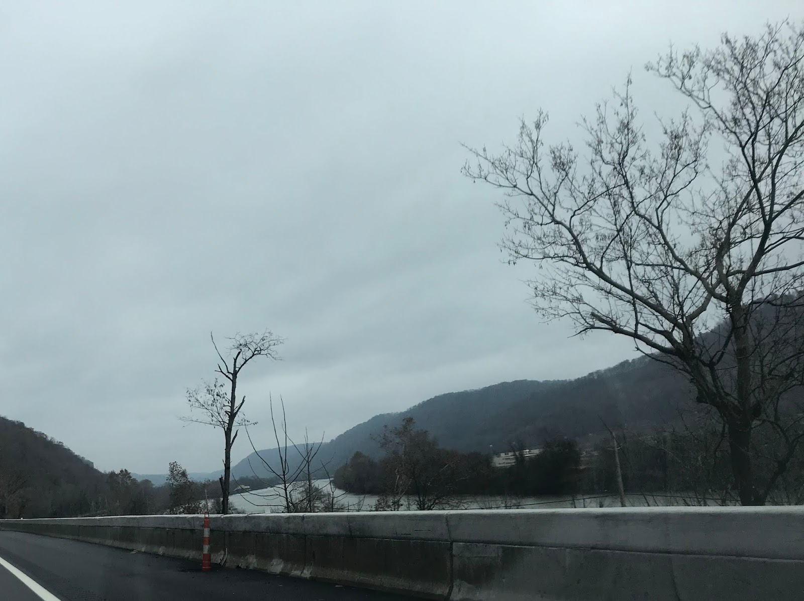
Coming close to Charleston, West Virginia there was suddenly a broad river! It's the Kanawha!
The WV capitol dome is visible from the interstate!
Did I make it to my family? Let's talk tomorrow!
Most of my miles were in the mountains.
A very big mountain ridge in front of me, I wondered how the road would get around it!
Virginia had a tunnel through the mountain! What a surprise!
I spent one night in West Virginia, because it's mostly mountains and was about to rain, and I'd been at it for 6 hours (stopping hourly to walk around or eat something.) The next morning the weather was still dropping rain, and there was talk of snow...but I never saw any. And by the second hour on the road, the rain stopped.
Most of the highways through mountains followed little rivers which had carved out these valleys over millennia. It was like following the water either uphill or downhill, around many of the higher parts of the mountains where nobody lived except eagles.
Coming close to Charleston, West Virginia there was suddenly a broad river! It's the Kanawha!
The WV capitol dome is visible from the interstate!
Did I make it to my family? Let's talk tomorrow!
Labels:
rivers,
Thanksgiving,
travels,
tunnels,
Virginia,
West Virginia
Subscribe to:
Posts (Atom)